Hermit Thrush
Photo by: Robert Royse

Box Turtle
Photo by: Jonathan Mays

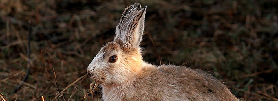
Snowshoe Hare
Photo by: Mike Hodgson

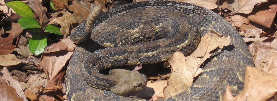
Timber Rattlesnake
Photo by: Kelly Wiley

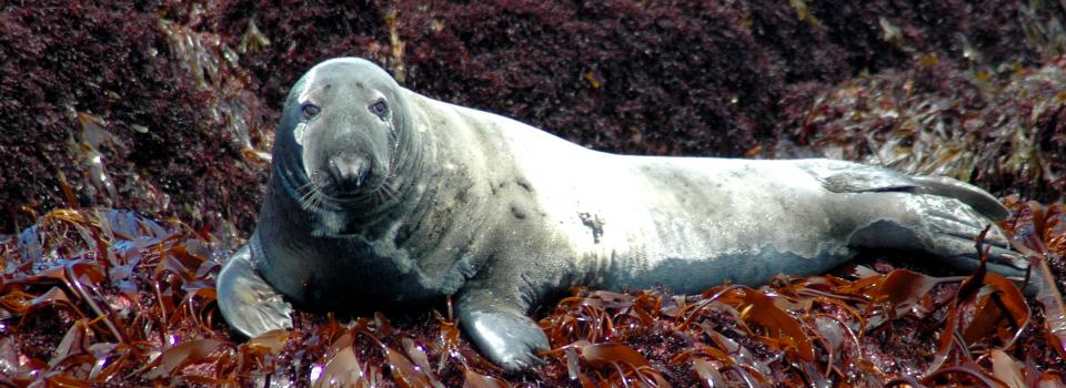
Gray Seal
Photo by: Jonathan Mays


© 2020 A Wildlife Management Institute Project