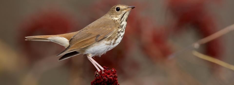
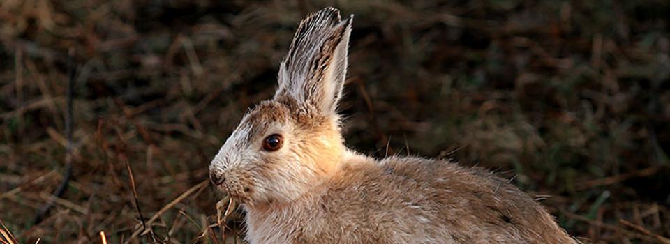
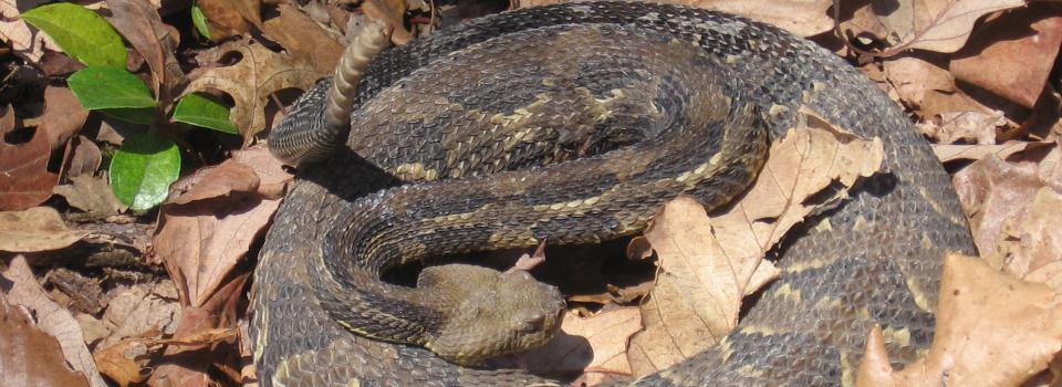
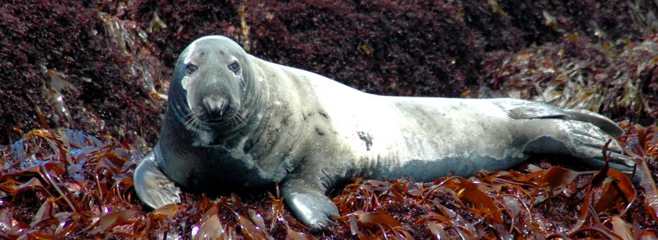
This project will evaluate and summarize the current condition of terrestrial and aquatic habitats across a region of thirteen states using region-wide habitat maps of streams (Northeastern Aquatic Habitat Classification System) and terrestrial ecosystems (Northeastern Terrestrial Habitat Classification System) now available from the RCN P