
Hermit Thrush
Photo by: Robert Royse

Box Turtle
Photo by: Jonathan Mays
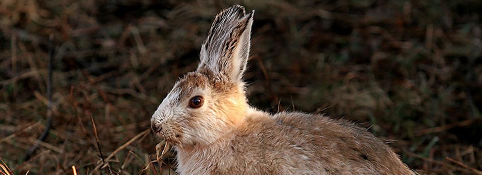
Snowshoe Hare
Photo by: Mike Hodgson
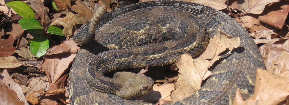
Timber Rattlesnake
Photo by: Kelly Wiley
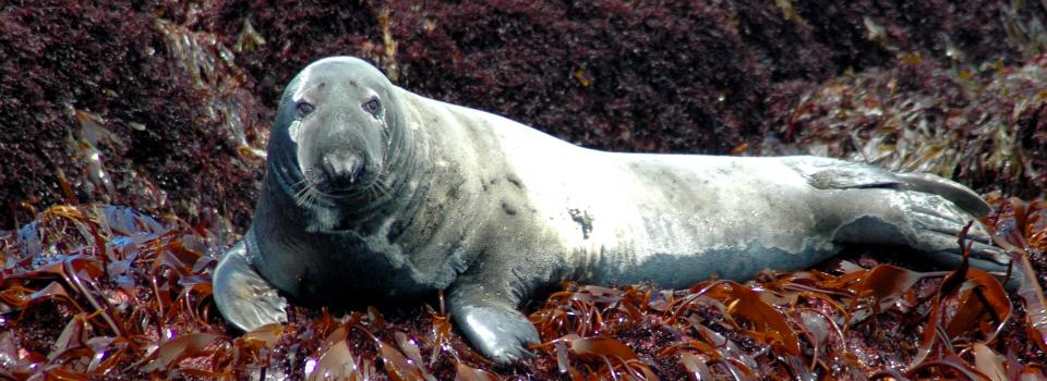
Gray Seal
Photo by: Jonathan Mays

State fisheries and wildlife agencies need a consistent habitat classification system to build current, digital habitat maps to effectively implement State Wildlife Action Plans that help protect wildlife and their habitats. In response to this growing need, the Northeast Terrestrial Wildlife Habitat Classification System (NETWHCS) was developed with financial support from the Doris Duke Charitable Foundation through the National Fish and Wildlife Foundation. Each of the 14 Northeast jurisdictions (including D.C.) participated and contributed in-kind support. Information on the sister project - the Northeastern Aquatic Habitat Classification System - can be found here. Together, the Aquatic and Terrestrial Classification Systems and Aquatic Spatial Data and Terrestrial Spatial Data greatly enhance state and regional conservation among the northeastern states.
The Northeast Terrestrial Wildlife Habitat Classification System (NETWHCS) is a flexible framework for characterizing wildlife habitat that works on two levels – habitat systems and structural modifiers. The basic layer is the habitat system which corresponds to the Ecological Systems developed by NatureServe, with additional systems for altered habitats and land-use types. Because most habitat systems can incorporate substantial variation in vegetative species dominance, successional stage, and other characteristics that are relevant to wildlife use, the classification superimposes a set of structural modifiers. The combination of habitat system with structural modifiers provides a powerful tool for assessing habitat. The NETWHCS has been designed for maximum compatibility with existing habitat classification efforts in the northeast, including LANDFIRE and the GAP Analysis Program. The habitat classification, presented in an Excel workbook with seven worksheets, is hierarchical for habitat systems consistent with the Federal Geographic Data Committee vegetation standard and can be scaled to different applications.
The NE Terrestrial Habitat Classification System files folder can be downloaded below and includes the final report with user guide, Excel Spreadsheet of the NETWHCS, a Crosswalk between habitat types listed in SWAPs and the regional habitat systems, and Mapping Capabilities which is a documentation of each state's wildlife habitat mapping resources. The Ecological Systems report by Nature Serve includes the Field Key to the Sytems and Habitat Systems of the Northeastern US. A report with a standardized map of secure (protected) areas in the Northeast is also provided in the folder. Additionally, this RCN project used the NETWHCS to construct comprehensive terrestrial wildlife habitat spatial data of the northeastern region.
For more information and to keep up with the most recent version of the map, please visit The Nature Conservancy's Conservation Gateway.
Name: Dave Morton
Title: GIS Coordinator
Organization: Virginia Department of Inland Fisheries
Email: dave.morton@dgif.virginia.gov
Address: 4010 West Broad Street, Richmond, VA 23230
Phone: 804-367-6772
Name: Sue Gawler
Title: Regional Vegetation Ecologist East - retired
Organization: NatureServe
Name: Mark G. Anderson, Ph.D
Title: Director of Conservation Science, Eastern U.S.
Organization: The Nature Conservancy, Eastern N. America Division
Email: manderson@tnc.org
Address: 99 Bedford Street, 5th Floor, Boston, MA 02111
Phone: 617-532-8354
Fax: 617-532-8400
![]()
© 2020 A Wildlife Management Institute Project