
Hermit Thrush
Photo by: Robert Royse

Box Turtle
Photo by: Jonathan Mays
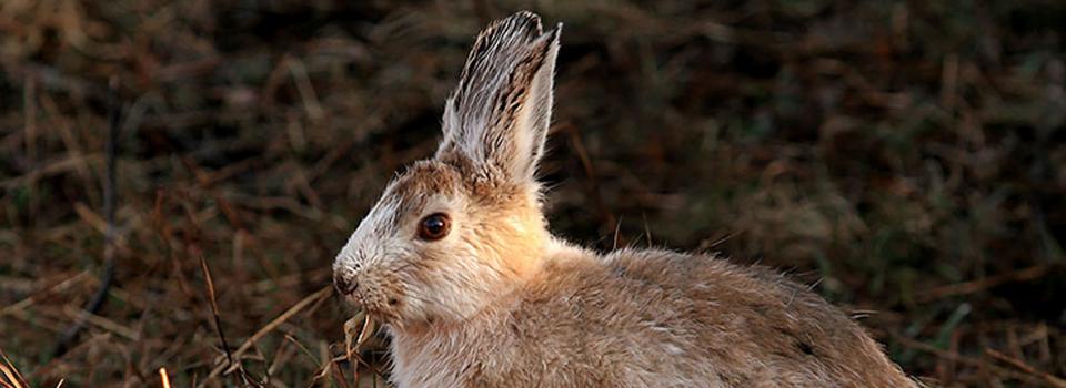
Snowshoe Hare
Photo by: Mike Hodgson
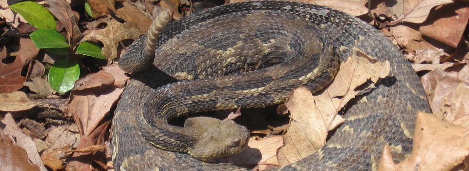
Timber Rattlesnake
Photo by: Kelly Wiley
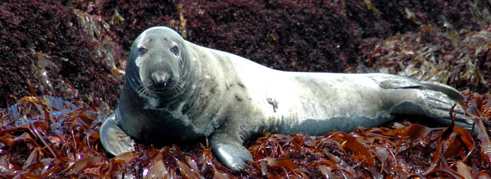
Gray Seal
Photo by: Jonathan Mays

State fisheries and wildlife agencies need a consistent definition, description, and accurate dataset of habitat types to understand where conservation is most needed and anticipate the effects of climate change on forested, agricultural, and freshwater systems across the region. Current, digital habitat maps are essential for effective implementation of State Wildlife Action Plans.
In response to this need, the Northeast Terrestrial Wildlife Habitat Classification System (NETWHCS) and Aquatic Habitat Classification System (NEAHCS) were developed. Together, the Aquatic and Terrestrial Classification Systems greatly enhance state and regional conservation among the northeastern states. The Terrestrial Habitat Classification System was developed as a comprehensive and standardized representation of habitats for wildlife that would be consistent across states and consistent with other regional classification and mapping efforts. The Northeast Aquatic Habitat Classification System (NEAHCS) developed a standard classification system and GIS dataset to describe and map stream systems across the northeast.
In completion of a 2011 Regional Conservation Needs grant, The Nature Conservancy (TNC) recently released the report “Northeast Habitat Guides: A companion to the terrestrial and aquatic habitat maps.” The document contains 109 two-page fact sheets, one for each habitat, plus sections on classification, mapping, and sources of information. The goal of this project was to ensure the understanding and widespread use of the Northeast Aquatic Habitat classification system by creating a printable web-based guide to the Northeast Aquatic Habitat Classification and GIS database. The guide includes: descriptions of the habitat types, example photographs, statistics and distribution patterns, guidance to using crosswalks to other (state) classification schemes, and wildlife associations for NE fish and mussels.
The maps and accompanying habitat guides will provide fundamental tools for evaluating the distribution and condition of habitats and for assessing the implications of future land use change and climate variability. These tools have been well received by state fisheries and wildlife agencies charged with managing wildlife and habitats, and will no doubt be very useful as states revise their State Wildlife Action Plans. Additionally, over the next month, TNC will create a web page to allow the guide and maps to be easy to explore, and host a web seminar for agency staff to demonstrate how to use the guide and maps. Information on the web page and seminar will be posted here when available.
![]()
© 2020 A Wildlife Management Institute Project