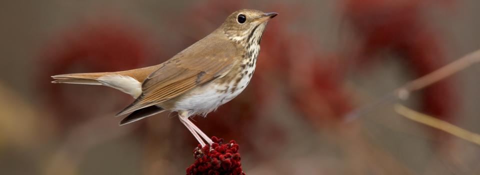
Hermit Thrush
Photo by: Robert Royse

Box Turtle
Photo by: Jonathan Mays
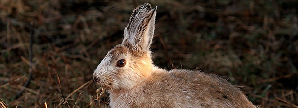
Snowshoe Hare
Photo by: Mike Hodgson
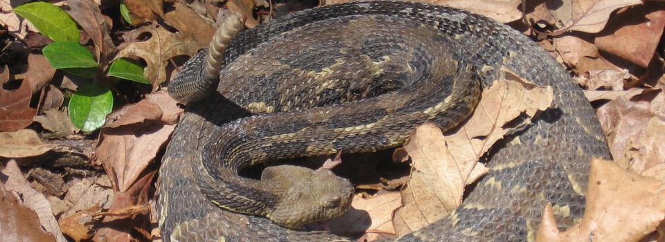
Timber Rattlesnake
Photo by: Kelly Wiley
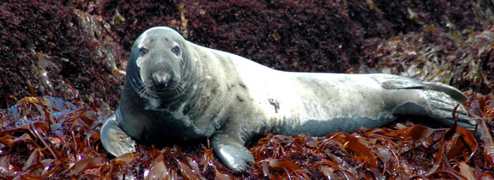
Gray Seal
Photo by: Jonathan Mays

The hydrology of a watershed is a complex, interconnected series of above ground and under ground inputs. Human influences within the water shed are extensive – dams, diversion structures, storm runoff and adjacent land uses - and can cause major disruptions in streamflow. There has been increasing emphasis on the need for daily streamflow estimates to understand how alterations to streamflow affect flooding, erosion, water quality and aquatic and terrestrial wildlife.
The Connecticut River Basin has thousands of dams used for hydropower, flood control, and water supply; the Connecticut River Basin is also home to a number of important fish species. These competing interests for water led the Army Corps of Engineers and The Nature Conservancy to embark on a partnership to understand how dam management can be optimized to meet both human and ecological needs for water. To understand the relationship between humans and stream ecology, daily streamflow time series are needed at locations in the basin that with ecological constraints on water (locations where important or protected fish or ecological communities reside or rely on for life), human constraints on water (locations on the river that are dammed or otherwise managed), or have both constraints to consider. Generally, these locations are unmonitored.
With support from the Regional Conservation Needs Grant program, the Connecticut River UnImpacted Streamflow Estimation (CRUISE) software tool was developed to provide a common scientific foundation for water allocation decisions. The CRUISE tool is freely available and easy-to-use software for estimating daily streamflow time series at ungauged locations in the Connecticut River Basin. Users are able to point and click on a stream location of interest and obtain a delineated watershed as well as a daily time series of streamflow. The CRUISE tool website (http://webdmamrl.er.usgs.gov/s1/sarch/ctrtool/index.html) contains additional information about the software required, a user manual, a history of updates, file sizes, and contact information. To use the CRUISE tool, users must have an internet connection and Microsoft Excel version 2003 or higher. More information about the project and links to the products can be found at RCNgrants.org.
![]()
© 2020 A Wildlife Management Institute Project